![]()
Topographic maps are drawings which display the relief
features (surface configuration) of an area. The relative elevation differences
are shown by contour lines. Existing structures and significant vegetation
are also shown on the map.
![]()
Topographic maps serve as the basis for site plans, hydrology studies, and earthwork analysis.
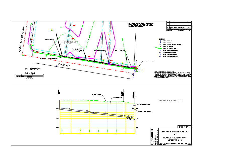
View
above Plan and Profile in DWF format (Requires WHIP! plug-in for Netscape
3.0+ or Active-X Control for Microsoft Internet Explorer 3.0+)

If you have comments or suggestions, email me at art(the "at" symbol)oceng.com
Last revised by Art O'Connor on 31 July 2008